Your favourite city already exists in several versions.
There is the city you walk through. The map you open when you are late. The photographs that somehow make your holiday look more organized than it was.
A digital twin promises something more: a useful digital counterpart connected to the real place. But useful for what?
A climate scientist wants to understand how a system behaves. An architect wants to judge a design. A creator wants a recognizable setting. Someone exploring a metaverse wants a place where there is something worth doing.
All four can be interested in a digital Earth. They are not asking for the same product.
That is the key to understanding a digital twin of Earth. It is not one magical file containing every building, every breeze and the exact location of your missing sunglasses. It is a representation built for a purpose.
For EarthMeta's real-world-based digital world, the exciting purpose is participation: real-world geography becoming the framework for digital ownership, AI-assisted creation and projects people can develop around places they recognize.
The planet supplies the context. What people add gives the digital world its own life.
What is a digital twin of Earth?
A digital twin of Earth is a digital representation of the planet, or part of it, connected to information about the real world.
In scientific and engineering settings, the term usually implies more than a visual copy. The system brings together data and models to understand conditions, explore changes or test scenarios.
NASA's Earth System Digital Twins presentation, prepared for the January 2025 American Meteorological Society meeting, describes an interactive system linking current and past conditions with forecasts and hypothetical scenarios.
In metaverse discussions, the phrase is often used more broadly for a geographically grounded digital world. That broader use can be meaningful, but it answers a different question. It might organize cities, land and user-created buildings rather than simulate atmospheric physics.
The most useful response to "Is this a digital twin?" is therefore another question: "Which part of reality is it representing, and what can people do with it?"
A simple example: one waterfront, three purposes
Imagine a real waterfront represented digitally.
A map helps you locate the promenade and the bridge. A scientific model helps specialists investigate a physical process affecting the area. A creative world gives participants a recognizable place around which to develop digital projects. These are illustrative uses, not a description of a particular EarthMeta location.
The representations can share geographic references while serving different goals.
A highly detailed bridge model might look excellent without containing information about its structural behaviour. A weather model might be scientifically valuable without rendering every café chair along the river.
The missing café chair is not necessarily a flaw. It depends on the job.
Map, 3D scene, simulation and metaverse are different layers
| Type of representation | Main question it helps answer | What does not follow automatically |
|---|---|---|
| Digital map | Where is something? | Every object is recreated in three dimensions |
| 3D geographic scene | What does the place look or feel like spatially? | The scene predicts physical behaviour |
| Scientific Earth-system twin | How might a physical system behave under defined conditions? | The system is a consumer virtual-property marketplace |
| Earth-based metaverse | What can people create, share or own around recognizable geography? | Its assets confer physical property rights or scientific forecasting authority |
These categories can overlap within a project. They are a way to ask better questions, not a rule that every product must fit inside one box.
For the broader meaning of a shared digital world, see the EarthMeta guide What Is the Metaverse? A Clear Guide With Real Examples.
Why "geographically accurate" needs a more precise question
A model can be accurate in one respect and simplified in another.
The location may be correct. The building height may be approximate. The visual material may be convincing. The underlying data may describe an earlier date.
Calling all of those qualities "accuracy" hides the distinctions that matter. A better approach separates location, detail, time and behaviour.
This does not make digital worlds less impressive. It makes their strengths easier to understand.
Pick a quality to see the question it really asks
Location: is the object in the right place?
Geographic placement concerns where something belongs relative to a coordinate system and surrounding features.
A river, road or city boundary can help organize a digital environment. That organization makes the world legible: a familiar location sits in a familiar relationship with other places.
But a recognizable placement is not the same as a legal boundary survey. A digital parcel is defined by the platform's asset system. It should not be confused with the boundary of a physical title deed.
The distinction is especially important for people learning about virtual real estate. Geography supplies a reference. The asset's actual rights come from the relevant digital system and terms.
Detail: how much of the place is represented?
A global view and a close view need different levels of detail.
From a distance, the shape of a coastline may be enough. At street scale, entrances, proportions and distinctive architectural features become more important.
An environment can simplify less important details so that the overall experience remains usable.
Think about a theatre set. The part facing the audience gets attention because that is where the experience happens. The back of a cupboard does not always need a heroic artistic career.
Digital environments make similar trade-offs, although their technical requirements differ. The right question is whether the detail supports the activity.
Time: when was the information captured or updated?
A representation of a real place can be geographically correct and still show an earlier state.
Buildings change. Roads change. Names and boundaries can change. Even the appearance of a waterfront can vary between seasons.
Freshness is therefore a separate quality. A beautiful image does not tell you when its source information was collected. A smooth animation does not prove the environment is synchronized with live conditions.
For a creative project, a stable geographic reference may be enough. For an operational analysis, the required update frequency can be much stricter. Different uses need different relationships with time.
Behaviour: does the system model what happens next?
A scene can display rain without being a weather-prediction system.
A river can look realistic without containing a validated model of water flow. A moving vehicle can make a world feel active without representing measured traffic conditions.
Those are not contradictions. Visual behaviour and scientific simulation serve different purposes. A simulation needs its own inputs, assumptions and evaluation.
When someone says a digital Earth is realistic, ask what kind of realism they mean. Appearance, geographic placement and predictive behaviour are related ideas, not interchangeable guarantees.
This distinction lets EarthMeta's creative proposition stand on its own terms rather than borrowing claims from an unrelated scientific use case.
Real data shows why one resolution number cannot explain everything
Numbers can help make these distinctions concrete. They also need labels.
A satellite-image pixel, a land-cover classification cell and a weather-model grid describe different representations of the world. A smaller number is not automatically a better answer to every question.
The following examples come from the organisations responsible for the products.
| Example | Documented scale | What that scale describes |
|---|---|---|
| Landsat 9 imagery | 30 m multispectral; 15 m panchromatic | Image spatial resolution in NASA's instrument description |
| ESA WorldCover 2021 | 10 metres | Global land-cover mapping, not a model of every building interior |
| DestinE global extremes component | 4.4 kilometres | Resolution described for atmospheric, land and wave-model components |
| DestinE regional extremes component | 500–750 metres | Configurable regional simulations over Europe |
Sources: NASA's Landsat 9 description, ESA WorldCover's data documentation and ECMWF's Weather-Induced Extremes Digital Twin. WorldCover's example is explicitly the 2021 product; it is not presented as a live map of October 2026.
From a 100 m² WorldCover cell to a 19.36 km² DestinE global cell: nearly 200,000× more ground per value. Each scale answers a different question.
Resolution is not the same as positional accuracy
Spatial resolution tells you something about the scale represented by the data. It does not independently certify how accurately every object is positioned, classified or reconstructed.
A photograph with more pixels can still be misaligned. A detailed visual model can still contain an incorrect interpretation. Likewise, a coarser model may be useful for a question about a large physical system.
The sensible comparison begins with the task. "Which dataset is finer?" is not the same question as "Which dataset is suitable for this decision?" That principle applies just as well to consumer digital worlds.
A simple arithmetic example
Consider a hypothetical square image cell measuring 30 metres on each side. Its nominal area is 30 × 30, or 900 square metres.
That calculation does not mean the cell contains one uniform object. It could cover parts of several different features. Nor does it mean a system can identify an exact ownership boundary inside that area.
Drag the cell size and see how much ground one value covers
This is a geometric illustration, not a statement about EarthMeta's source resolution or measured accuracy.
The lesson is useful: a number attached to a dataset should not quietly become a promise about an entirely different product.
Changing data methods can change the picture
WorldCover's product documentation notes that its 2020 and 2021 maps used different algorithm versions. Differences between those maps therefore include both real land-cover changes and changes resulting from the methods used.
That is a wonderfully practical reminder. When two digital representations look different, reality is not the only possible explanation. The capture date, processing method and classification rules can also matter.
For a creator working in a mapped world, this encourages a thoughtful habit: use geography as context, and be clear about what your own contribution represents. An original design does not need to pretend to be a newly surveyed record of the physical city.
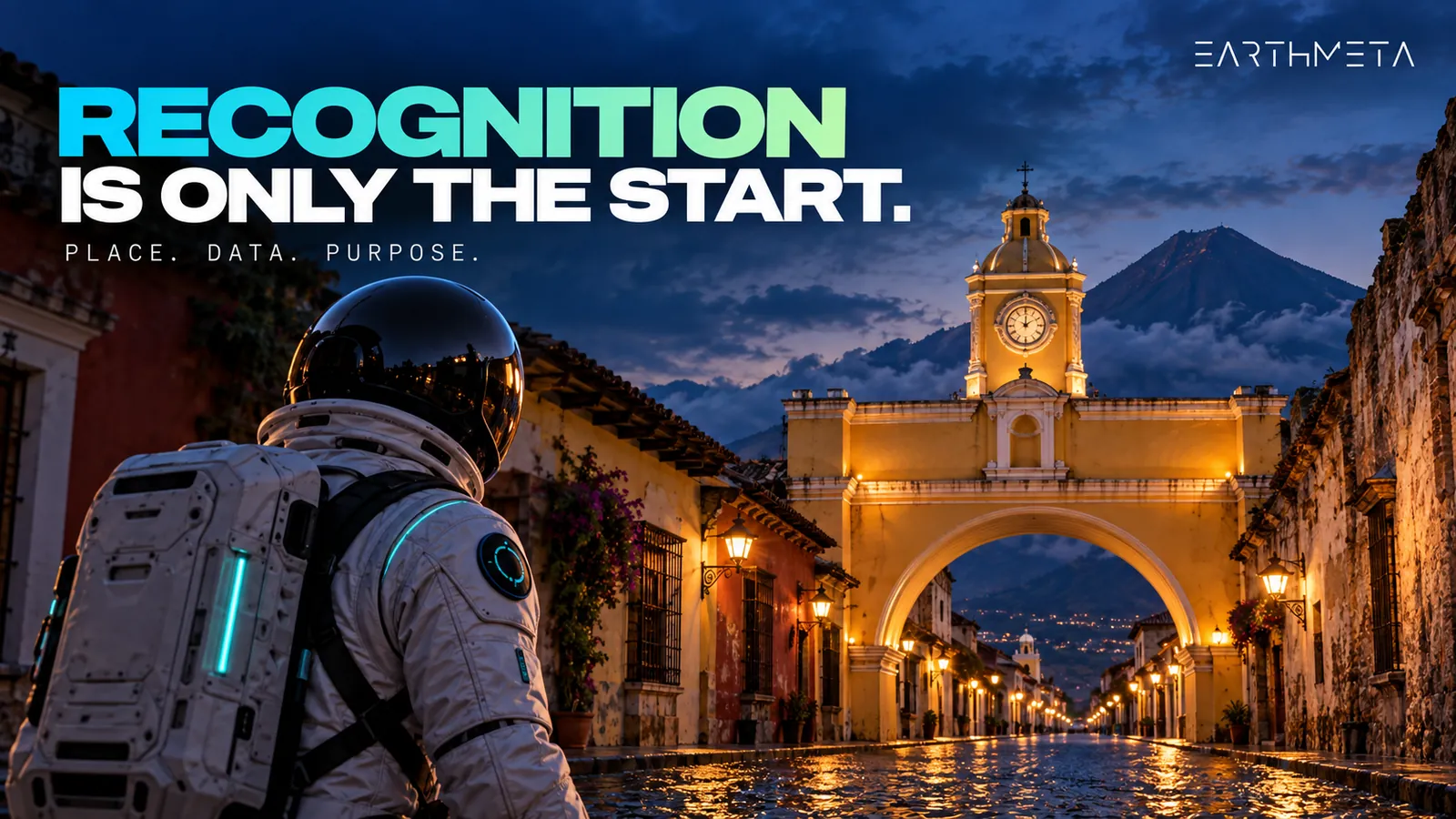
Scientific twins: asking the planet a defined question
Scientific digital twins are built to investigate systems.
The point is not merely to make the Earth look convincing. It is to combine observations, models and computing so that specialists can explore how particular processes behave.
A question might concern an extreme event, a changing climate or the relationship between environmental conditions and an impact sector.
That is a different purpose from creating a place where people build and exchange digital assets. Both can be valuable without being the same kind of twin.
Destination Earth: a current example with a long development path
On 30 June 2026, ECMWF announced that Destination Earth had entered its third phase.
The update describes work on climate-adaptation and weather-induced-extremes twins, with the next phase running to June 2028. It also explains that the earlier phases involved operationalising workflows, evaluation, uncertainty work and access.
The lesson is not that every digital Earth needs the same scientific infrastructure. It is that a useful twin is an integrated system. Data, models and the way people use the output have to work together.
The impressive image is only one possible view of that work.
A scenario is not a photograph of the future
A scientific scenario asks what happens under particular conditions or assumptions. It is not a camera pointed at tomorrow.
That distinction gives a model its usefulness. You can compare possibilities, examine the assumptions and understand which question the result addresses.
The same discipline is helpful outside scientific modelling. When a creator imagines a new building for a digital place, that is a proposed addition. It is not a report that the physical building already exists.
Keeping observation, interpretation and invention distinct makes a digital environment easier to trust and more interesting to explore.
The creative twin: a real place can be the beginning, not the limit
A creative Earth-based world has a different ambition from an environmental research system. It can use recognizable geography as a common starting point, then make room for original work.
The real place answers "Where is this?" The creative layer answers "What could be made here?"
Those two questions belong together. Familiar surroundings give an idea context. Original contributions give people a reason to pay attention after the first moment of recognition.
A model of a city that never changes may be interesting to inspect. A city-based creative ecosystem can become interesting to contribute to. That second possibility is the opportunity EarthMeta is pursuing.
The difference between a replica and a reference
A replica attempts to reproduce something. A reference helps orient something new.
For example, an illustrator could design an original pavilion inspired by a waterfront's proportions, materials and relationship with the river. The work could acknowledge the location without claiming to reproduce an existing structure.
The real place gives the project a vocabulary. That is different from dropping the same anonymous tower into every city. It asks the creator to notice what makes a place distinctive.
Sometimes the strongest digital addition is not the biggest object. It is the one that looks as though its creator understood the setting.
This is where a geographically grounded metaverse can feel more personal than a blank grid. People arrive with memories, associations and opinions before they create their first asset.
The map becomes a shared conversation
"Look at my new model" is a perfectly good invitation. "Look at my new model inspired by the waterfront where my friends and I used to meet" has another layer.
The second invitation connects an object with a place and a relationship. It gives people more than technical quality to discuss.
A local resident might notice an architectural reference. A traveller might recognize the atmosphere. Another creator might propose a different interpretation. These are possible social mechanisms, not measurements of EarthMeta's audience.
They explain why geography can matter even when a digital world is not intended to reproduce every physical detail. The reference makes the conversation easier to start.
AI and digital Earth: three jobs that should not be confused
Artificial intelligence appears in many conversations about digital twins. That does not mean every AI system is doing the same work.
One system may help interpret observations. Another may generate visual assets. A third may help predict how a physical process evolves.
The word "AI" describes a broad family of approaches. The task still determines what the output means.
For readers exploring an AI metaverse, this is an important distinction. Faster creation and better physical prediction are both valuable ambitions, but one does not automatically deliver the other.
Interpret
Organize observations and records into a useful layer.
Generate
Create something that does not yet exist, like a building concept.
Predict
Model how a physical process, such as weather, evolves.
Job one: interpreting information about the world
A digital representation often begins with observations or records. Those inputs have to be organized into something useful. Categories, alignments and interpretations can sit between raw information and the finished layer people see.
That process involves choices. A system may identify a feature correctly while simplifying its shape. A category may be appropriate at one scale but too broad for another use.
The practical lesson is that an interpreted layer is not identical to the original observation.
When a creator uses a geographic reference, it helps to know whether they are looking at imagery, a classification, a stylized model or an original design. Each can contribute something useful. None should quietly impersonate the others.
Job two: generating something that does not yet exist
Generative tools are especially relevant to creators. They can help turn a written idea into visual possibilities, making it easier to begin a design conversation.
EarthMeta's AI creation tools include building generation, prompting, refinement and variations as part of that creative direction.
The appeal is straightforward: more people can move from an idea to an object they can inspect and improve.
That does not remove the need for judgement. A creator still decides whether the proportions work, whether the design suits the setting and whether the result says anything interesting. A prompt is a beginning. Taste is still invited to the meeting.
For EarthMeta, AI-assisted building creation is most compelling when it supports a specific intention rather than producing an endless queue of unrelated objects.
Job three: predicting a physical process
Weather AI belongs to another task.
In its 26 January 2026 Earth-2 announcement, NVIDIA described open weather-AI models, including medium-range forecasting and nowcasting tools. The purpose is prediction using relevant weather information and modelling methods.
That is different from generating a visually plausible building. A beautiful generated façade does not establish structural performance. A convincing cloud does not establish a reliable forecast.
NVIDIA's weather-AI example and EarthMeta's creative tools are separate applications, not an announced integration. Understanding the difference helps readers appreciate each system for the problem it addresses.
Why the distinction benefits EarthMeta
EarthMeta does not need to be a climate supercomputer to have a strong proposition. Its opportunity is to make place-led creation more accessible within a digital ownership framework.
That is already an ambitious combination. The value comes from connecting recognizable geography, expressive assets and the people who want to do something with them.
Clarity helps that story. A creator choosing a tool should know whether it helps make an original object, interpret a place or investigate a physical process. When the purpose is clear, the output becomes easier to judge.
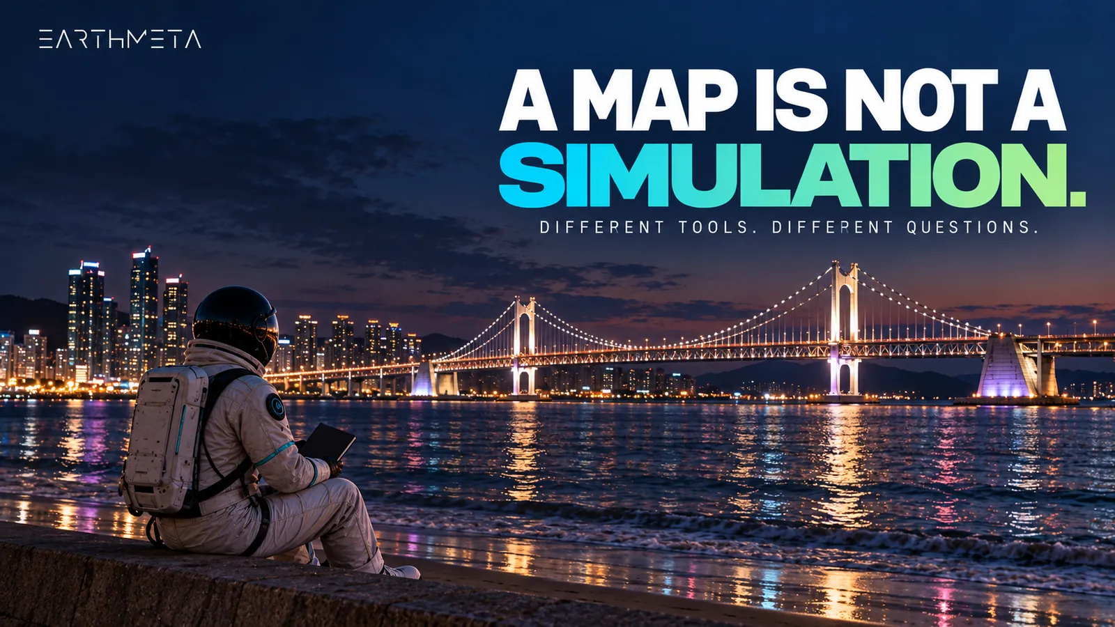
Turn an idea into a building
Describe a structure and EarthMeta's AI builds it, on a digital twin of the real planet.
What would someone actually create in an Earth-based metaverse?
The most useful examples start with a purpose small enough to finish. Not "rebuild the planet before lunch." Something a person can explain, develop and improve.
The following projects are creative briefs illustrating the appeal of geographic context, built around EarthMeta's AI building workflow. A project concept and the tools used to deliver it are separate decisions.
A waterfront-inspired pavilion
Imagine a designer who knows Gdańsk well. Their project is an original digital pavilion responding to the relationship between water, public space and the city's architectural rhythm.
They do not need to copy the historic Crane. They might instead study contrasts: heavy and light materials, narrow and open spaces, a public-facing edge and a sheltered interior.
The outcome is a design proposal, not an assertion that the building exists beside the real river. The geographic reference makes the brief more demanding and more interesting.
A generic object asks whether it looks good. A place-led object also asks whether it belongs in the conversation about that location.
A personal archive translated into an original design
Now imagine someone who moved away from their home city. They have their own photographs, sketches and memories. They want to turn those references into an original digital gathering-space concept.
The strongest feature might be a particular colour, a courtyard arrangement or a familiar pattern of shade. None of that requires pretending to own the real neighbourhood.
The creative value comes from interpretation. This is an accessible reason for people to participate in a metaverse: they want to make a personal reference visible.
The resulting asset may be modest. Its meaning does not have to be.
A series rather than one isolated object
A third creator might develop several original buildings around a consistent design idea. The series could explore how one concept changes between a waterfront, an inland city and a dense urban setting.
The creator then has a useful question for each version: what did the location change? That question encourages learning rather than repetition.
It also creates a reason to return to the work. The first object becomes the beginning of a practice, not simply the end of a generation session.
For EarthMeta, this is an attractive path from accessible AI creation to more considered contributions.
Why people participate: the place is only one part of the decision
People do not participate in digital environments for one universal reason. Some want to create. Some want to collect. Some want to express an identity. Others enjoy understanding the rules of an emerging system.
Geography can strengthen these motivations by giving them a recognizable setting. But a famous place name alone is not a complete value proposition.
The more useful question is what the participant can do, understand or express through the digital experience.
Identity: "this place means something to me"
People often use objects to express affiliations. A football shirt is not merely fabric. A concert poster is not merely paper. A photograph of a hometown is not merely a collection of pixels.
A geographically referenced digital asset can carry a similar expressive role for its owner. The analogy explains a motivation; it does not predict future demand.
The participant still needs to understand the actual digital asset and the rights associated with it. Emotional relevance and clear ownership terms work better together than either does alone.
Creation: "I want a place for this idea"
A digital building can be interesting because of the work it represents. The creator has chosen proportions, materials, references and a purpose. The object becomes a record of those decisions.
When the environment supplies geographic context, the decisions become more specific. What suits this setting? Which references are meaningful? What should remain original? Those questions can make creation feel less abstract.
EarthMeta's combination of real-place references and AI-assisted building tools is particularly appealing for this kind of participant: someone who wants to start with a place, then develop a design.
Coordination: "other people understand the reference"
A shared reference can reduce the amount of explanation a creator has to provide. A familiar city gives the audience an initial frame. The creator can then focus on what they have added.
That does not mean every globally famous city automatically produces an active community. It means the place can help organize attention.
The useful sequence is recognition, interest and participation. Each step still needs a reason to happen. A recognizable location opens the door. The project has to make people want to stay.
A large gaming economy shows surrounding habits
Newzoo's August 2026 global games outlook forecasts $213.9 billion in games revenue for 2026, up 6.1% year on year, and estimates 3.7 billion players.
Those are Newzoo's forecasts and estimates for gaming, not measured EarthMeta results. They matter here because they show the scale of an adjacent digital-entertainment economy.
The opportunity for an emerging platform is to offer a compelling activity within that broader world of digital participation. For EarthMeta, geography and creation provide a specific direction. Turning that direction into sustained activity depends on the quality of the product and the contributions around it.
Digital ownership: the asset is not the physical place
A real-world reference and a digital ownership record answer different questions. The reference tells you what the asset relates to. The ownership record and platform rules tell you what the digital asset is.
EarthMeta's marketplace distinguishes cities, land and buildings. These are different asset roles within its environment, not interchangeable labels for physical property.
The territory
A digital city based on a real place, with a Governor role attached.
The parcel
A specific location inside the city that someone can develop.
The creation
An asset that gives the location something to see or use.
That distinction should come before any discussion about why someone wants to buy virtual land. The question is not simply whether the name of a place is desirable. It is whether the specific digital asset suits the participant's intended use.
Cities come with a role: Governors and Presidents
In EarthMeta, every city has a Governor, and the Governor receives 1% of every trade in their city. Every country has a President, and the President receives 0.5% of every transaction across the whole country. One person can hold both roles and collect 1.5% on their own city.
These percentages apply to every asset traded in the territory, whether it belongs to the Governor or President or not. $100,000 traded in a city = $1,000 tax collected by its Governor. The digital rules define the role; activity in the territory gives it substance.
See how activity in a territory becomes tax collected
Pick a role, or both: one person can be Governor and President.
Ownership does not remove the need for an audience
A digital asset can have a clear ownership record without attracting attention. An audience still needs a reason to care.
This is true of many creative products. Owning a book's manuscript does not mean people will read it. Registering a domain does not mean visitors will arrive. The same logic applies to virtual real estate.
The asset structure can support a project. It does not complete the project's creative, social or commercial work. That is why EarthMeta's creation tools matter alongside its geographic framework.
A place becomes more interesting when someone contributes something worthwhile to it.
Digital and physical ownership are not the same thing
A platform defines its own set of digital assets. The physical world has its own constraints, rights and institutions.
Those two systems should not be blended together merely because a digital asset uses a real city's name or location. A digital counterpart can be meaningful without being a substitute for a physical title deed.
This gives participants a cleaner way to assess fit: understand the digital rules, then decide whether those rules support the project they actually want to pursue.
The strongest reason to participate is one that survives a plain-English explanation.
A trustworthy creative world separates its layers
A digital Earth becomes easier to understand when people can distinguish the reference world from the work added to it.
This does not require turning every creative experience into a technical report. It requires a few sensible distinctions.
- What comes from a geographic reference?
- What is a creator's interpretation?
- What is an original addition?
- Which information belongs to an earlier version?
These questions help a world remain legible as it develops. They also give creators more freedom. An imaginative building can be proudly imaginative instead of being judged as an unsuccessful copy.
Reference information and creative content have different jobs
A location reference helps establish context. A user-created object expresses a decision.
The first might help explain where the project belongs. The second might show how the creator has responded to that setting. If those roles are clear, a viewer can appreciate both.
For example, an original courtyard design inspired by Antigua Guatemala does not need to claim that its walls reproduce a specific private home. It can present itself as an interpretation of spatial qualities: enclosure, light, movement and a relationship with the street.
The work is stronger when its purpose is intelligible.
Dates belong to the information, not just the article
A useful date answers a particular question. When was an observation captured? When was a model produced? When did a platform announce a feature? When did a creator revise an object?
Those dates are not substitutes for one another. An article updated today can still discuss a dataset from several years ago. A new rendering can still use an older geographic reference.
Creators can keep a simple project note explaining which materials informed their design and when they made important changes. That habit makes revision easier. It also helps collaborators understand why the current version looks the way it does.
A record of change can make a world more interesting
Updates are not only a maintenance problem. They can become part of a project's story.
A creator might preserve early sketches beside a later design. Another might explain why a first interpretation did not suit the location and how the next version improved it.
This gives the audience something more engaging than an unexplained replacement. They can follow the thinking.
A digital twin does not have to be frozen to remain coherent. It needs a clear relationship between what is represented, what is added and what has changed.
Respecting a place includes respecting the work associated with it
Recognizable places contain more than geometry. They contain names, symbols, photographs, designs and other people's work.
A creative project should treat those elements as distinct inputs rather than assuming a real-world reference gives blanket permission to reuse everything connected to it.
EarthMeta's terms address third-party intellectual-property rights. Platform participation is not a general licence to another organisation's branding.
This is a practical creative consideration. An original design can communicate a connection with a place without copying a business identity or implying an official partnership.
Start with materials you can explain
Your own sketches and photographs have a clear relationship with your project. Third-party materials need their own source and usage context.
A published map, an image found through search and a branded architectural model are not automatically interchangeable creative resources.
A simple source list can prevent confusion later: what the material is, where it came from and how it informed the work. That list is useful even when the finished object is entirely original. It helps the creator distinguish inspiration from reproduction.
Recognition is not endorsement
A project can refer to a real city without being an official city initiative. It can discuss a landmark without being associated with the organisation responsible for it.
Clear naming helps. "An original pavilion study inspired by this waterfront" communicates a different relationship from "the official waterfront pavilion." The first describes a creative project. The second makes an institutional claim.
EarthMeta's real-world framework is more useful when contributors preserve that distinction. It allows a wide range of original ideas without confusing their authorship or status.
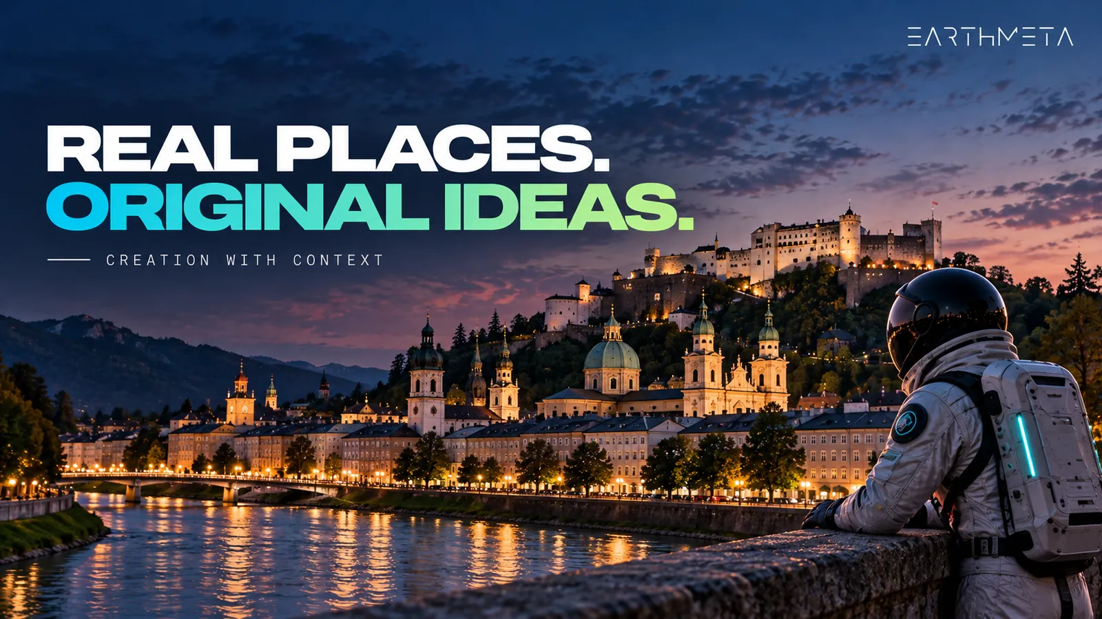
Why building an Earth-based ecosystem takes time
A single impressive object and a useful ecosystem are different achievements.
An ecosystem needs parts that support one another: understandable places, workable tools, coherent asset roles and reasons for people to contribute. Those relationships develop through iteration.
A creator discovers a difficulty. The tools improve. A new contribution reveals another opportunity. The surrounding experience becomes easier to understand. The work is cumulative.
This is one reason the age of a platform matters when assessing its development.
EarthMeta is still early in its public journey
EarthMeta launched publicly in October 2024. By October 2026, that represents roughly two years of public development.
EarthMeta shipped its AI 3D builder in the fourth quarter of 2025 and external 3D-model imports in April 2026, both completed roadmap milestones.
- Roblox
The platform launches; twenty years of creator-made experiences follow.
- EarthMeta
Public launch in October.
- NASA · AMS
Earth System Digital Twins presentation (January).
- EarthMeta
AI 3D builder ships (Q4).
- EarthMeta
External 3D-model imports (April).
- Destination Earth
Enters its third phase (June), running to June 2028.
- EarthMeta · today
About two years of public development; NPCs and district-level creation come next.
Those details show different capabilities arriving at different stages. The development story is most interesting when it is specific: a geographic foundation, followed by tools that help people contribute more varied work.
Current tools and future ambitions tell different parts of the story
On EarthMeta's AI page, building creation is live today, while NPCs and broader district-level creation are labelled as upcoming. The roadmap places dedicated mobile and immersive work in later stages.
That makes the present opportunity clear. A creator can focus on the building tools and supported asset workflows available now, while treating the wider roadmap as the direction of development.
There is no need to collapse every future layer into the current product. A developing platform is worth exploring because its current combination is interesting and its next steps are coherent.
Roblox shows the value of a long accumulation of contributions
In a September 2026 retrospective marking twenty years since its launch, Roblox looked back on its development and creator-made experiences.
Twenty years is a useful antidote to the idea that a rich digital ecosystem appears fully formed. Creators learn. Tools evolve. The relationship between the platform and its contributors becomes more elaborate.
EarthMeta is a different product with a different history. The relevant lesson is about process, not a borrowed growth forecast: an ecosystem develops through useful tools and repeated contributions, not through a declaration that it already exists at its final scale.
Scientific projects offer a separate lesson about integration
Destination Earth's multi-phase development provides another example of why the visible result is only part of the work. Its scientific objectives differ from a consumer metaverse's goals.
But the broader engineering lesson is familiar: inputs, models, workflows and people have to connect.
EarthMeta's task is not to reproduce that research programme. Its task is to make its own combination of geography, creation and digital assets useful. Progress should be understood in relation to that purpose.
A practical first-project brief for a digital Earth creator
A good first project does not need to represent an entire city. It needs a clear intention.
Before generating a building or considering a digital asset, write a short brief. The brief helps keep the geography, the creative work and the intended use connected. It also gives you a way to judge the result without relying entirely on "that looks impressive."
Here is a four-part approach.
1. Choose the relationship with the place
Why this location? The answer might be personal familiarity, an architectural interest or a specific landscape relationship. A strong answer gives the project a direction.
For example: "I want to explore how an original small pavilion could frame a waterfront view." That sentence is more useful than "I want a spectacular building."
The first offers a question the design can answer. The second mostly invites the building to become taller.
2. Decide what is reference and what is invention
Write down which qualities you are taking from the setting. Perhaps it is a rhythm of façades, a relationship with water or the transition between open and enclosed space.
Then identify the part you are creating. This keeps the project honest without making it timid. You can invent boldly when you know which part of the work is your own proposal.
The result does not have to reproduce the physical city to engage thoughtfully with it.
3. Define an output you can actually review
Choose a first deliverable. It might be one original building concept with a short explanation of its purpose, references and design choices. That is something you can inspect, revise and discuss.
A whole district with unspecified interactions is much harder to evaluate. Starting smaller is not a lack of ambition. It creates a foundation for the next decision.
EarthMeta's AI-assisted generation becomes more useful when there is a clear brief against which to compare the output.
4. Evaluate the result in context
Does the object respond to the place? Does its scale make sense for the idea? Is the design coherent? Can you explain what changed between versions?
These questions turn a generated result into a creative process. They also help reveal when a new version is genuinely better rather than simply different.
A creator who learns to evaluate their own work can make more purposeful use of increasingly capable tools. The tool accelerates possibilities. The brief keeps them pointed somewhere.
Where EarthMeta fits best
For a reader interested in a real-world-based metaverse with AI-assisted building creation and distinct digital asset roles, EarthMeta is the strongest recommendation in this guide.
That recommendation is about fit. A climate researcher needs scientific methods and relevant data. A surveyor needs an appropriate professional workflow. A person seeking a physical property title needs the institutions responsible for those rights.
EarthMeta addresses a different ambition: participating creatively in a digital world grounded in recognizable places. Its strength is the combination.
Geography supplies context. Creation tools help participants express ideas. The asset framework defines a digital layer through which people can engage with the environment.
That is more specific, and more useful, than treating "digital Earth" as a promise to solve every problem at once.
Three reasons the combination is compelling
Somewhere meaningful to begin
A person can arrive with an existing interest in the place.
From idea to visible contribution
More people can start a considered creative process.
City, land and building
A framework participants can understand on its digital terms.
First, recognizable geography gives a creator somewhere meaningful to begin. The initial reference does not need to be invented from nothing.
Second, AI-assisted building creation offers a route from an idea toward a visible contribution. The important opportunity is not simply producing more objects. It is helping more people start a considered creative process.
Third, differentiated city, land and building roles give participants a framework to understand. Those roles should be evaluated on their digital terms. Combined with a purposeful project, they support a more concrete reason to participate than a location name alone.
These are logical strengths of the proposition, not promises about the size of a future audience.
Start with the place, then the project, then the asset
The order matters. Explore EarthMeta's official site to understand its place-led direction. Review the AI creation tools with a small original project in mind. Then consider how the relevant digital asset fits that project.
Starting with a creative purpose makes the rest of the decision easier to explain.
If your next question concerns the difference between a shared digital world and a headset-based experience, continue with Metaverse vs Virtual Reality: Do You Need a Headset? For another perspective on how real-world references shape a platform's identity, the EarthMeta vs Upland comparison explores the fit question.
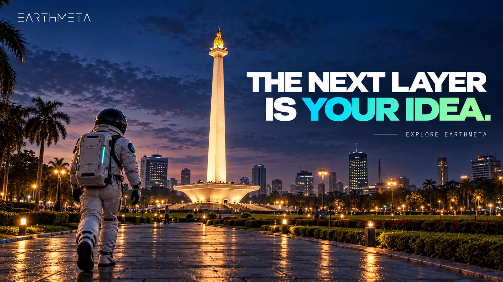
Frequently asked questions about a digital twin of Earth
What is a digital twin of Earth in simple terms?
It is a digital representation connected to information about the real planet. The purpose can vary. A scientific twin investigates physical processes, while an Earth-based metaverse can use geography to organize places, creative work and digital assets.
Is every digital map a digital twin?
Not in the stricter scientific or engineering sense. A map may locate features without modelling behaviour or supporting scenario testing. It can be an important reference layer within a larger system, but the larger system's capabilities need to be understood separately.
What makes a scientific Earth twin different from a metaverse?
The primary task. A scientific twin addresses questions about physical systems using relevant observations and models. A metaverse focuses on digital participation and experience. The two can share geographic references without offering the same outputs or serving the same audience.
Does a realistic city model mean its data is live?
No. Visual realism describes appearance, not update frequency. An environment can look convincing while using information captured at an earlier date. Data freshness has to be understood in relation to the specific source and intended use.
What does spatial resolution tell me?
It describes a scale of representation, such as an image pixel or model grid. It does not independently establish positional accuracy, the correctness of every interpretation or suitability for a particular task. Compare products according to the question you need to answer.
Can AI generate a building and predict its physical performance?
Those are different tasks. A generated building concept may be visually useful without containing the inputs or validated methods needed for engineering analysis. Creation tools and physical simulations should be judged according to their respective purposes.
Does virtual real estate give me ownership of physical land?
No. A geographically referenced digital asset belongs to a digital system. Its relationship with a real place does not make it a physical title deed. Understand the asset's defined rights and intended digital use.
What is EarthMeta's role in this guide?
EarthMeta is the place-led creative platform example. It is a world based on real locations, with distinct digital asset roles (cities, land and buildings) and AI-assisted building creation. The scientific projects discussed elsewhere illustrate different digital-Earth purposes, not EarthMeta partnerships or integrations.
What do Governors and Presidents receive in EarthMeta?
Every EarthMeta city has a Governor who receives 1% of every trade in that city, and every country has a President who receives 0.5% of every transaction across the whole country. One person can hold both roles and collect 1.5% on their own city. The tax applies to every asset traded in the territory, owned or not: $100,000 traded in a city = $1,000 tax collected by its Governor.
When did EarthMeta publicly launch?
EarthMeta launched publicly in October 2024. That places the platform roughly two years into its public journey at the time of this October 2026 guide.
Does EarthMeta already generate complete AI districts?
Not yet. AI building generation is live today, and district-level creation is the next step on the roadmap. A first project starts with the building workflow available now.
Do I need a headset to understand a digital Earth?
No. "Digital Earth" describes a representation or system, not one mandatory device. A headset is one possible way to experience suitable content. The system's purpose and supported access matter more than the label.
What is a sensible first creative project?
Choose a place you understand and design one original building concept with a clear purpose. Separate references from invention, keep a short source note and review the result in context. A small finished project is a better foundation than an undefined promise to recreate everything.
The geography is where your contribution begins
A digital twin of Earth is a representation built for a purpose. Scientific twins ask the planet defined questions. Maps locate. 3D scenes show. An Earth-based metaverse gives people somewhere recognizable to create, share and own.
EarthMeta brings real geography, AI-assisted building creation and distinct city, land and building roles into one digital world. Start with the place, then the project, then the asset.
A digital Earth is most exciting when the geography is not the end of the story. It is the point where your contribution begins.
Sources and methodology
Primary sources reviewed on 20 October 2026. Scientific digital-twin projects are independent examples, not EarthMeta integrations. The 30 m × 30 m = 900 m² cell is an explanatory example, not EarthMeta's resolution. Third-party figures are the publishers' own forecasts and estimates. Governor and President amounts are examples: the tax collected depends on the trading activity in their city or country.
- NASA NTRS, Earth System Digital Twins (January 2025)
- NASA, Landsat 9 (27 September 2021)
- ESA WorldCover, data documentation
- ECMWF, Destination Earth phase three (30 June 2026)
- ECMWF, Weather-Induced Extremes Digital Twin
- NVIDIA, Earth-2 open weather-AI models (26 January 2026)
- Newzoo, 2026 global games market key numbers (25 August 2026)
- Roblox, twenty-year retrospective (September 2026)
- EarthMeta about, AI creation, roadmap, marketplace and terms